Last week I wrote about my trip to the Skyline Divide Trail in 2018, so I figured I’d continue on writing about some more of my adventures across the border in the Mount Baker Wilderness Area. The second hike I decided to explore in the North Cascades was Yellow Aster Butte. I have Stephen Hui’s book “105 Hikes in and Around Southwestern BC”, which features 3 hikes down in the cascades, so me and Lien decided to try and do them all. We were already down one with Skyline Divide and we thought that ‘Yellow Aster’ sounded promising for fall colours and decided to attempt it a year later in early October 2019.
It was just me and Lien on the hike, so we got up early to cross the border through Sumas and then followed the forestry road up off the main road to the trailhead. I don’t think they plow this road in the winter, so access to the hike would be limited by the road conditions. The trail profile is really similar to Skyline Divide in that both hikes are 13km long, but with 750m of elevation gain, Yellow Aster Butte is a little bit steeper.
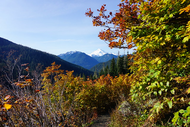
The trail starts with lots of bright colours as you weave your way through some low shrubs and trees looking out towards Mount Baker. Honestly, the trailhead is probably the most colourful part of the entire trail because from there you head into the woods for a few kilometers to climb up to the alpine. On the East Coast, most of the fall colours come from the trees, but my experience on the west coast has been that most of the colours come from the shrubs. The low lying plants turn beautiful hues of orange, yellow, and red. The bottom of the trail was mostly oranges and yellows, but once we popped out into the alpine, there were a lot more reds along the trail.
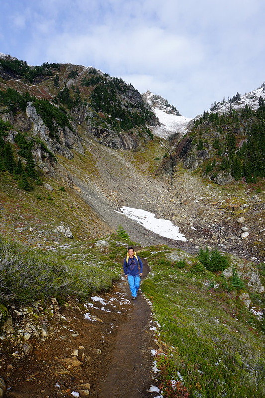
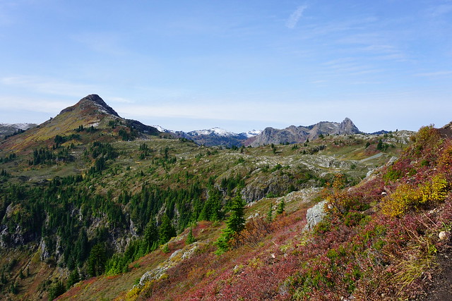
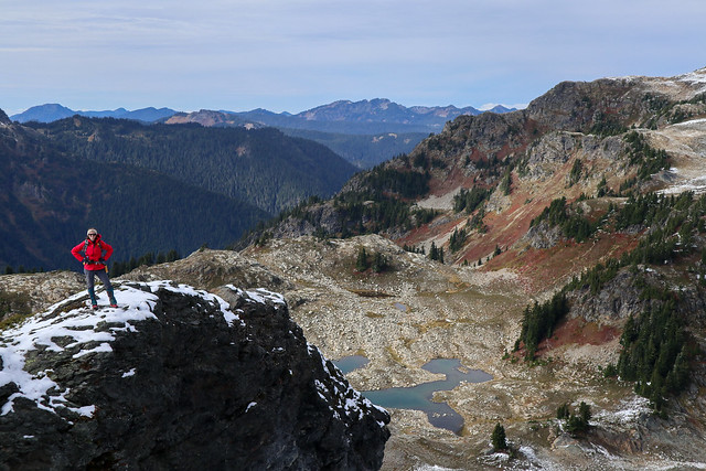
Once you exit the woods, you continue climbing up around a big bowl to the butte. For those who aren’t familiar, a butte is an isolated hill with steep sides and a flat top. Personally I think yellow aster butte is a bit of a misnomer because it looks a lot more like a mountain to me than anything else, but I’m no expert. As you keep climbing, the views start to open up more and more. There were a few overripe blueberries hanging on along the trail and it looked like the area had recently received its first smattering of snow. It’s a bit of a barren area, but still very scenic.
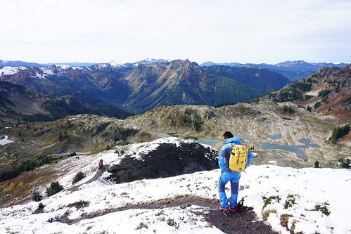
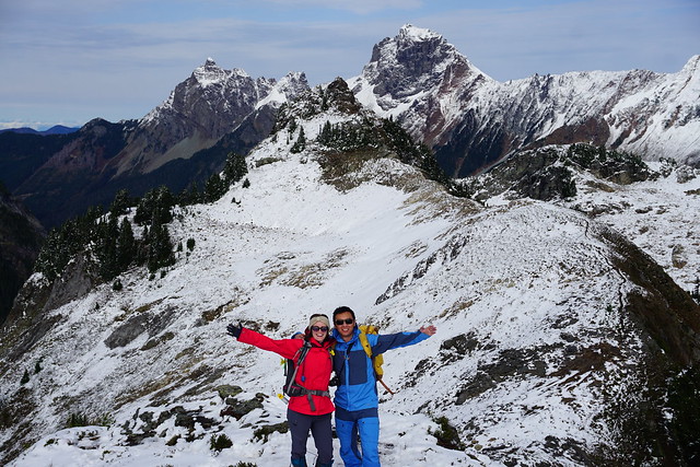
The trail is a little flatter as you circle around the edge of the bowl, but then it starts climbing again to the end of the trail, with a steep section up to the top of the butte. This part of the trail had snow on it when we visited, but it was the kind of snow that makes you really unsure about what kind of footwear to use. I think studs would have been ideal, but we only had microspikes, so we used those. They were clumping up a bit from the dirt underneath the snow, so we probably could have just struggled up without them, but why risk it when we carried the spikes all the way up there anyways!
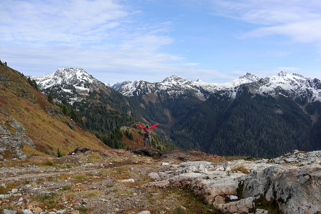
From the top there are some pretty awesome views of the trail and we stopped to have lunch. Despite it being weeks earlier than when we’d hiked Skyline Divide the previous year, it was much colder and I bundled up in my winter parka, contrasting the shorts I’d been wearing the year before. It just goes to show you really have to be prepared for any weather, especially when hiking in shoulder season. While we felt like we were on top of the world, the trail actually continues another kilometer down the ridge and back up to another peak on the other side. Some people were crawling down the bank to finish the hike, but we decided it wasn’t worth the risk along slippery ground. The view from the first peak is absolutely incredible so we were already satisfied.
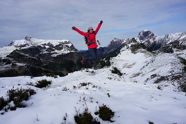
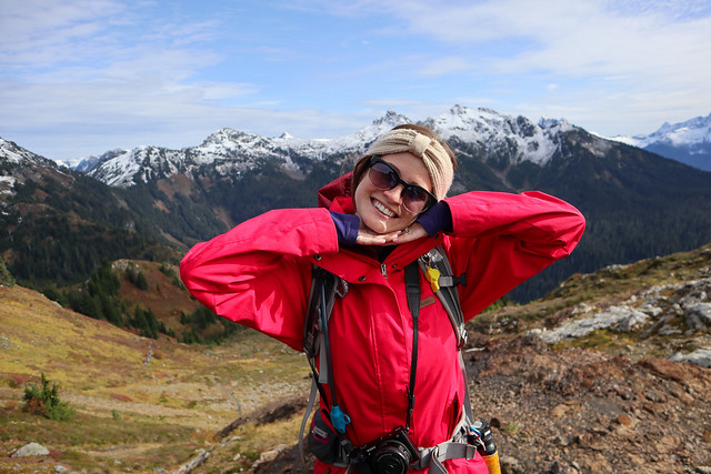
We took our time coming back down, stopping to snack on some berries and taking lots of pictures of the surrounding vista. We were in a bit of a goofy mood, which is one of my favourite ways to feel on a hike, so we took lots of funny pictures of us in our surroundings and generally had a good laugh on the way down. Despite the cold weather, it was still a really nice day and we resolved to come back the following week to do the Chain Lakes Trail!
Pingback: Hiking Winchester Mountain | The Road Goes Ever On