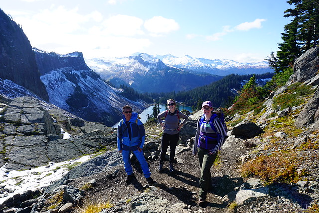
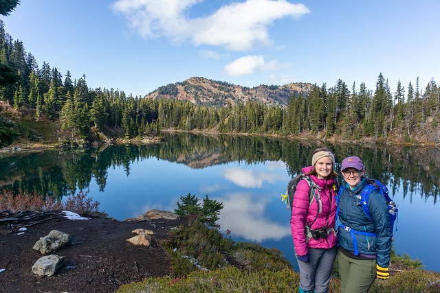
The final trail in my little ‘Fall hiking in Washington’ series is the Chain Lakes Trail that leaves from the ski area at Mount Baker. Me, Lien, and Emily had visited the previous year in March to snowshoe Artist Point and were totally awed by the views, so we decided to come back in the fall for a different view. It was Thanksgiving Weekend in October 2019, just one week after me and Lien had hiked Yellow Aster Butte. This time we were joined by Emily and my friend Amy, who flits in and out of my life every now any then. We never really know when she’s going to appear and disappear again, but it’s fun to hike with her!
We had Thanksgiving dinner at my house on Sunday night and then made an early departure on Monday morning to cross the border. Traditionally, me and Brandon have always gone on a Thanksgiving Monday hike (3 years running), but this year he went on holiday and bailed on me, so I had to console myself with my other companions. I really liked both Yellow Aster Butte and Chain Lakes, but of the two, I would definitely have to give the edge to Chain Lakes. At 11.5km, it has half the elevation gain of Yellow Aster Butte, just 375m. The trail starts in the backcountry parking lot at the ski hill. Be sure to get and print out the parking pass online before you go because there’s no where to get it on the mountain. It’s only $5 and I’m told you can get it at the visitor center at the bottom before you drive up, but I’ve never once seen it open on the weekend.
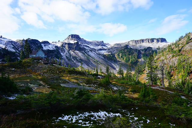
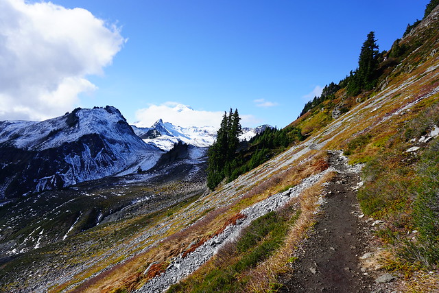
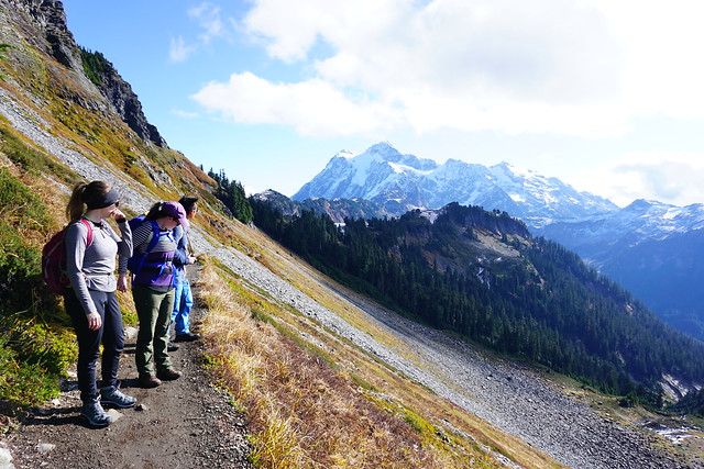
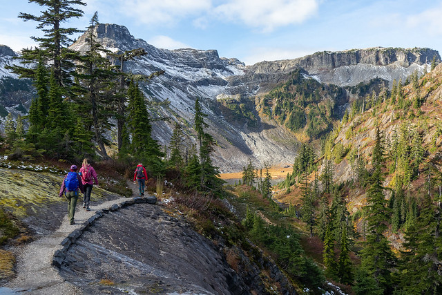
Chain Lakes is one of those rare trails that is scenic the ENTIRE trail. You’ve already driven up most of the elevation gain to get to the ski hill and from there, the trail continues up to the summer parking lot for Artist Point. In the summer, you can drive almost the whole way up to Artist Point, but at some point in September they close the road. Hiking up the road is the least scenic part of the trail, but still has really nice views looking down into the big bowl that’s popular among backcountry skiers. We decided to skip the Artist Point viewpoint since we’d already done it and instead continued down the other side of the parking lot into the backcountry. I think it’s a bit of an understated part of the trail, but it was one of my favourite parts. You hike right across the slope of Table Mountain, looking out towards Mount Baker.
From the Skyline Divide Trail, I felt like I was so close to Mount Baker that if I continued hiking I would eventually reach it (you can reach the foothills, but then the trail ends). But from the Chain Lakes Trail, you really are on the trail that goes up to the top of Mount Baker (albeit this is only for experienced mountaineers). It looked like if we just crested a few more hills we’d pretty much be there, but of course, it’s further then it looks as the size of the mountain dwarfs everything surrounding it and can be a bit misleading. Once you get to the end of Table Mountain, the trail turns to continue around the mountain and over to the chain lakes part of the trail. You can also hike along the top of Table Mountain, which may have to be an adventure for another day.
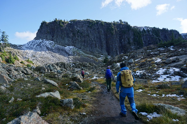
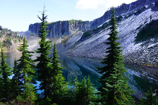
The first lake you come to is Mazama Lake. You can camp there, but it’s pretty small and not the most scenic, so if you’re overnighting, I’d recommend one of the other lakes instead. After Mazama, you come to Iceberg lake, which is the biggest and has staggering views looking up at the steep cliffs that surround the lake. This is where we decided to stop for lunch and enjoy the views before starting our climb back up the pass to the top of the trail.
One of the awesome things about Chain Lakes, in addition to the fact that the entire hike is scenic, is that it’s a loop trail, so you don’t have to do any return on the trail. It starts to climb around Iceberg Lake until you reach Haynes Lake, which is where I’d recommend branching off to camp. From there it gets really steep. There’s some great views looking back down the trail at Iceberg lake and you continue climbing to the top of the pass before starting to descend back into the bowl we were looking at from the start of the trail. It seemed like most people were doing the trail in the opposite direction as us, starting with the steep climb up the bowl. I’d recommend going the same way as us though because then you get to finish the hike with what was, in my opinion, the best view.
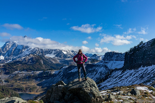
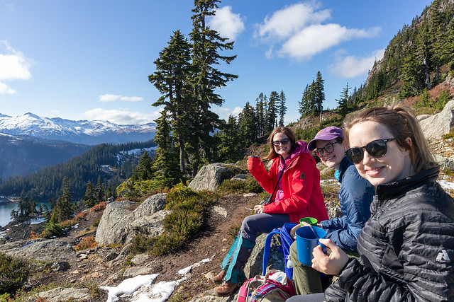
The view from the top of the pass is really unreal. The mountains stretch out around you in every direction and as you climb up the side of the Mazama dome, you really feel like you’re on top of the world. We’d already had lunch, but we decided to stop and have a break to make tea so that we could enjoy the view for a little bit longer! Even though we still had a few kilometers left to go, from the top we could pretty much see the trail down to the bottom almost the whole way there. We continued from the pass and started the long descent down the bowl to the parking lot. We were basically undoing all of the elevation from the rest of the hike in this stretch, which is why I recommend doing the hike from the other direction, that way the ascent is more gradual, with a few flat parts in between as you climb up. The descent down the bowl though is hard on the knees, so something to take into consideration as well.
The trail switchbacks for a while until you finally reach the bottom. It weaves through the valley and you pass by a few more lakes and the most quaint little rock bridge. Seriously, there’s no part of this trail that is not scenic, and even a few minutes before the parking lot, we were still stopping to take pictures of things. Except for Emily, who was badly in need of a washroom and sprinted the last 15 minutes of the trail to get to the outhouse.
Sadly that was our last adventure in the North Cascades. I returned the following winter with Carolyn and Brandon to snow camp on Artist Point, but unfortunately with Covid, we haven’t been able to return. I was hoping to do a few hikes in the summer and fall again, but sadly I’ll just have to wait until next year (hopefully). Either way, if you’re from Washington, I’d definitely recommend hitting up the North Cascades, and if you’re Canadian, put in on your bucket list!
Pingback: Hiking Winchester Mountain | The Road Goes Ever On