I’m going to kick off my East Coast Trail series with a post about the Sugarloaf Path, which runs from Logy Bay to Quidi Vidi. It’s the most accessible trail from St. John’s and has many beautiful views along the coast, though it is rated as difficult on the ECT website.
From my experience, the website slightly overestimates trail lengths and this 8.9km trail tracked as 8.5km on my GPS when I did it. Personally I don’t think it’s a very difficult trail, certainly it’s well maintained and easy to navigate, but there are two climbs throughout the trail, which is what I think contributes to the “difficult” rating. You can do the trail in either direction, the difficulty is approximately the same either way, with both directions starting with a big climb. I’ve done the trail twice, both times starting at the Ocean Science Center in Logy Bay and ending in Quidi Vidi. I like this direction because you end with a beautiful view looking down into the gut. But, the view into Logy Bay is also gorgeous, so you can’t go wrong with either direction!
Like I said, from the Ocean Science Center, the hike starts with a climb up to the top of the bluff. I don’t find it too bad and often hike up and back just for the view. It’s a great area for blueberry picking in the Fall, but popular and often picked clean. There’s a great view down into Logy Bay from Devil’s Point and looking out towards Cape Spear at Sugarloaf Head, which is the highest point on the hike. After that, it’s a pretty gradual descent through the trees around Robin Hood Bay.
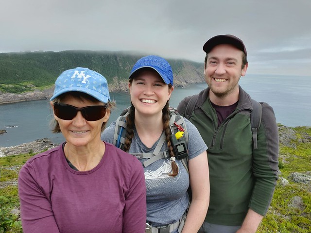
Robin Hood Bay is the only real downside of this hike. For those from St. John’s, you’ll know that this is the location of the town dump. In past years, this has created a lot of debris and plastic garbage that’s blown across the trail, but thanks to a ban on plastic bags and capping at the landfill, I couldn’t believe how much the trail was improved on my last hike here in July 2021. I visited with Sean and my Mom and we were quite impressed with how much nicer the trail is through this section now!
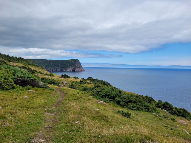
You reach Small Point at around the halfway point in the trail, breaking out of the trees into a gorgeous meadow! It has beautiful views and makes for a great place to stop for lunch, which is what we did on our visit. The East Coast Trail is a trail that definitely benefits from nice weather. The first time I did the trail was in 2013 with Seth and it was a super foggy day, meaning that we could barely even see the ocean, despite being right next to it. On this visit, we started in the fog, but it quickly cleared out and we had a lovely view of the Atlantic from Small Point, it was honestly like a completely different trail for me!
There’s an old bunker located along the cliffside in this stretch, which Sean informed us was an old lookout for U-boats and that there are many of them scattered along the trail (he works for Parks Canada). We did a little bit of poking around, but it’s dug out of the cliffside and the ladder is busted, so I wouldn’t recommend going inside. We got lucky though and saw a bunch of whales fishing off the coast while we were hiking along the exposed sections.
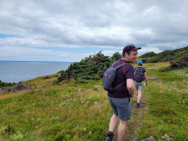
After Small Point, the trail meanders in and out of the woods. We could still hear the whales spouting while we were in the trees and then every now and then we would pop out of the trees to catch up with them. There’s a nice little river crossing at Bobbies Cove, shortly after which you reach an old road, which is the low elevation point on the hike. You start the second climb of the trail after that; it is a bit steep, but like most of the ECT, there are stairs on this section, so you can just take your time and it doesn’t take too long to get back up to the top of the bluff.
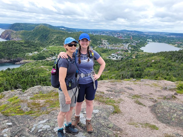
Shortly after Boulder’s Cove, you reach the top of the climb and have the most gorgeous view looking down towards Quidi Vidi. Then it’s only a short walk back down towards the gut. Pay close attention to the trail markers in this section though – it’s frequented by mountain bikers, so there are a lot of other paths crisscrossing the ECT. It is easier to follow the path up from the other direction, which is one of the benefits of doing the path in reverse. It looks like any of the paths should get you down, but there is one tricky section where there’s a bit of a ravine and only one path across, so if you get off the official ECT, you might miss it and then have to climb back up. Me and Seth got super lost when we did it, but we knew to pay attention when I did it with Sean and Mom and we didn’t have any problems.
The fun thing about the ECT is because NL is so rocky and barren, you often have to look down for trail markers, which are affixed directly to the rock. Watch for arrows engraved and painted in the rock, or the wooden trail stakes, which are painted striped black and white. The universal symbol along the trail for the ECT is a white triangle.
Eventually you reach the end of the trail along Cadet Road, right before the village. You can leave a second car parked along the road, otherwise you’ll have to go back to Logy Bay or get picked up. The trail ends right next to the Plantation and Brewery, so check out the local artisans, have a pint, or see if the local ice cream truck is open for a sweet treat if you’re there in the summer!


Pingback: East Coast Trail Hiking Series | The Road Goes Ever On