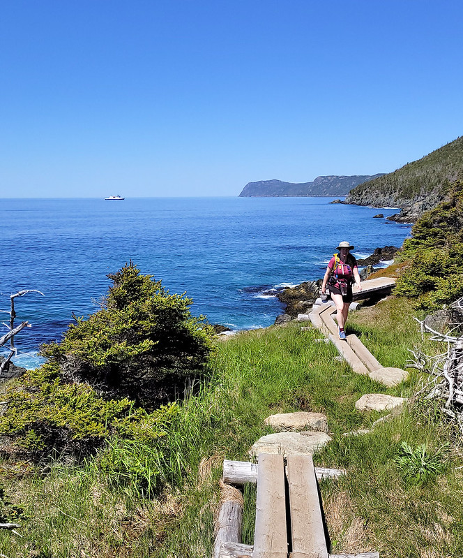
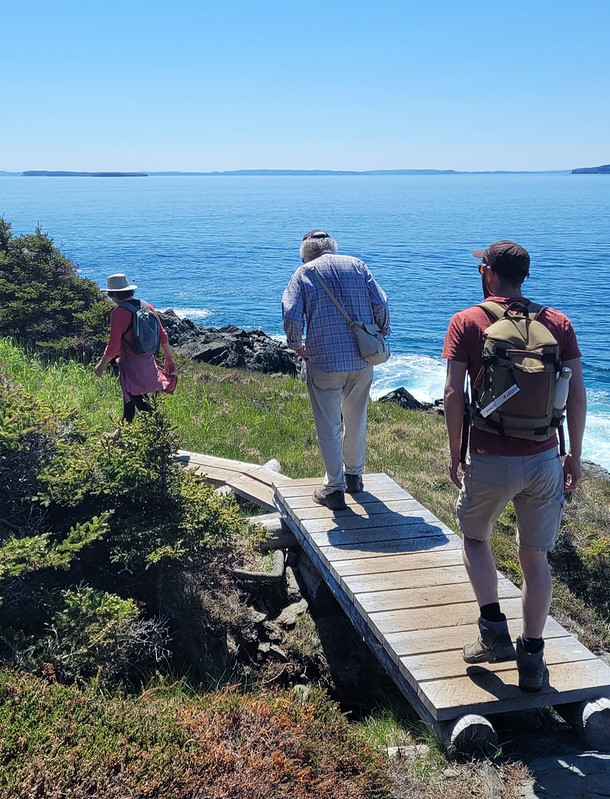
Long Shore Path is an interesting section to write about. There’s currently 3 trails on the northwest side of the Avalon peninsula between Topsail and St. Francis: Long Shore, Piccos Ridge, and White Horse. All 3 trails have been around for a while, but only officially opened in the Spring of 2022. I’ve already done Piccos Ridge, and White Horse has a reputation as a challenging trail, so I decided to tackle Long Shore Path while I was home in June.
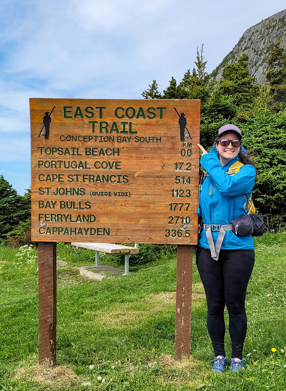
It’s an interesting section of trail because it’s technically the start of the East Coast Trail. The trail is always changing and evolving, so it may not stay this way forever, but it currently runs north from Long Shore Trail to Cape St. Francis at the far north peak of the peninsula, where it then turns south all the way to Cappahayden.
The reason I say that Long Shore is interesting is because it’s marked as a 17km long section of trail, but there’s ~4km of road walking in the middle of it. Typically sections of road this long aren’t included in the trail sections (though I believe they are included in the overall length of the ECT, as you would have to walk all the road sections if you did it as a true thru-hike). I find it a bit odd that they decided to include so much road walking in Long Shore Path instead of just breaking it into 2 sections. I didn’t want to do 4km of walking along the road, so I opted to do the trail in 2 sections over 2 days. So I guess I technically haven’t done the entire thing, but I’m going to count it as close enough.
I did the first section in late afternoon with Emily after she got off work one day. We drove out to Topsail Beach and hiked the first 4km of coastline to St. Thomas and back for a total of 8km. The trail starts right at the beach in Topsail Rotary Park and is primarily through the woods the entire way. Generally I don’t love long wooded sections, but I didn’t mind this part because it’s pretty sparse forest and you can still see the coast through the trees. The trail is a little bit technical, with tree roots and rocks, and undulates up and down.
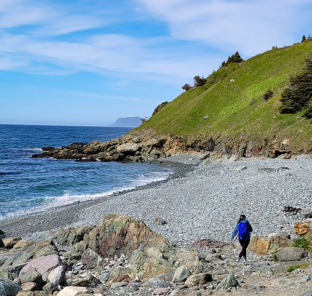
When you get to the end of the trail, you can take a left to walk down Lorry Road to the beach at St. Thomas. It’s a quiet and lovely beach that I’d never been to before and it makes for a nice end destination. It was overcast when we started the hike, but we sat on the beach for a while as the sun started to break up the clouds. It took us about an hour to hike the 4km and we had a few snacks before turning around to hike back. The sun properly came out on our return, which really brightened up the trail.
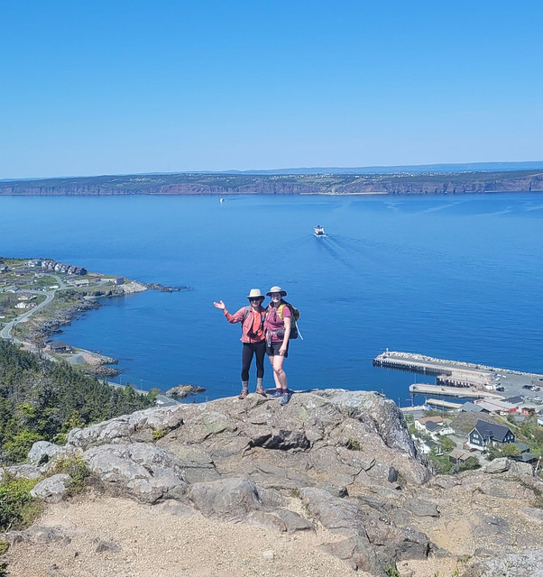
The following day I returned with Seth and his parents to hike the rest of the trail. After St. Thomas is the 4km of road walking to St. Philips Beach, followed by another 9km of hiking to Portugal Cove. We parked one car in St. Philips and then started from the trailhead in Portugal Cove to hike backwards. The first part of the trail out of Portugal Cove is another odd section because it doesn’t actually follow the coastline at all. Instead, you hike up behind Portugal Cove to a series of lookouts along the bluffs. It doesn’t feel very East-Coast-Trail-like, but it’s beautiful nonetheless.
It’s about 225m of elevation gain to the top – we didn’t find it too challenging, but if you don’t like climbing you may want to take your time. There are some excellent views of Bell Island from the top as you hike along the bare rock before descending to Beachy Cove. The descent isn’t very nice as you go through a huge section of blowdown, with tons of knocked over and destroyed trees. It’s not hard to follow the trail as the debris has been cleared, it’s just not very scenic. Once you reach the bottom, you hike out along an ATV road and then swing left on the road for a few hundred metres before turning right to go down to Beachy Cove.
Beachy Cove is easily accessible from the road, but it’s another beach I’d never been to that is really lovely. There’s a big waterfall flowing down to the ocean and the river can be a bit challenging to cross when the flow is heavy, but if you’re able, there’s a picnic table on the other side where we stopped for lunch. To get to Beachy Cove was ~6km, then there’s another ~3km along the coast to get back to St. Philips. This section is very similar to the 4km between Topsail and St. Thomas in that it’s mostly in the trees and undulates up and down (though I’d say it’s more challenging than the Topsail section).
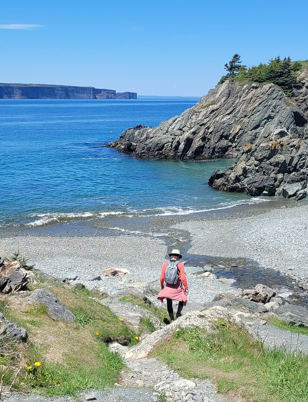
The only tricky part of this trail is when you reach Goat Cove. There’s a creek flowing down to a small pocket beach, so you have to descend down a sketchy rope section to the beach. From what I’ve heard, there used to be ropes on both sides of the beach, but there are stairs on one side now, so I wouldn’t be surprised if a second set of stairs is added in the near future, which would make this trail much more accessible. As it is now, it is a particularly long rope section that is manageable, but not easy. I’d recommend bringing gloves for the rope and taking your time.
We didn’t have quite enough water for the entire hike, but fortunately I’d brought my water filter, so we filled up with fresh cold water before continuing on. The rest of the trail isn’t particularly difficult and we enjoyed the glimpses of sun through the trees while still enjoying the shade.
So it’s a bit of a complicated trail with so many sections. I’d definitely recommend doing it in 2 sections to skip the road walk, but if you wanted, you could even do it in 3 sections as return hikes, which is what Emily ended up doing. I didn’t expect to like it as much as I did with so many forest sections, but it’s actually quite scenic (especially the views from the hill in Portugal Cove) and I loved hiking to all the little beaches along the way. Whether done as 1 long trail or several sections, it makes for a really nice hike.
