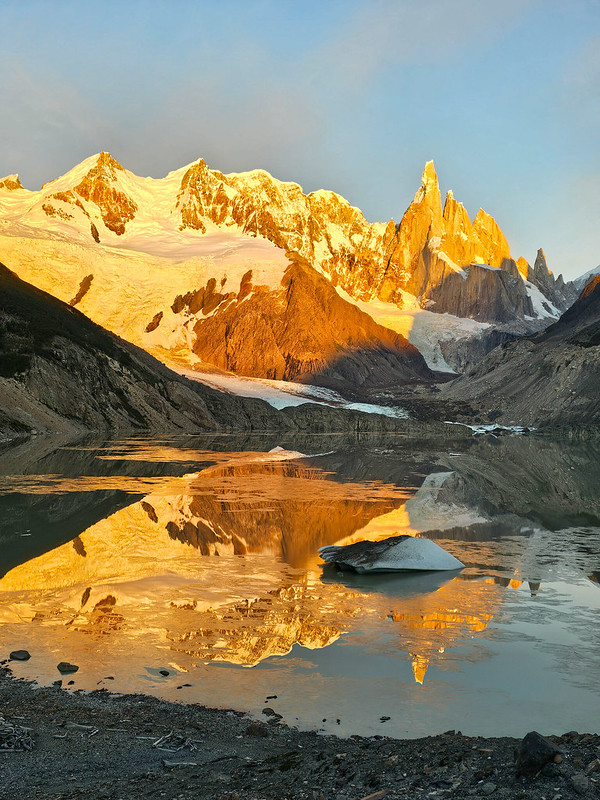
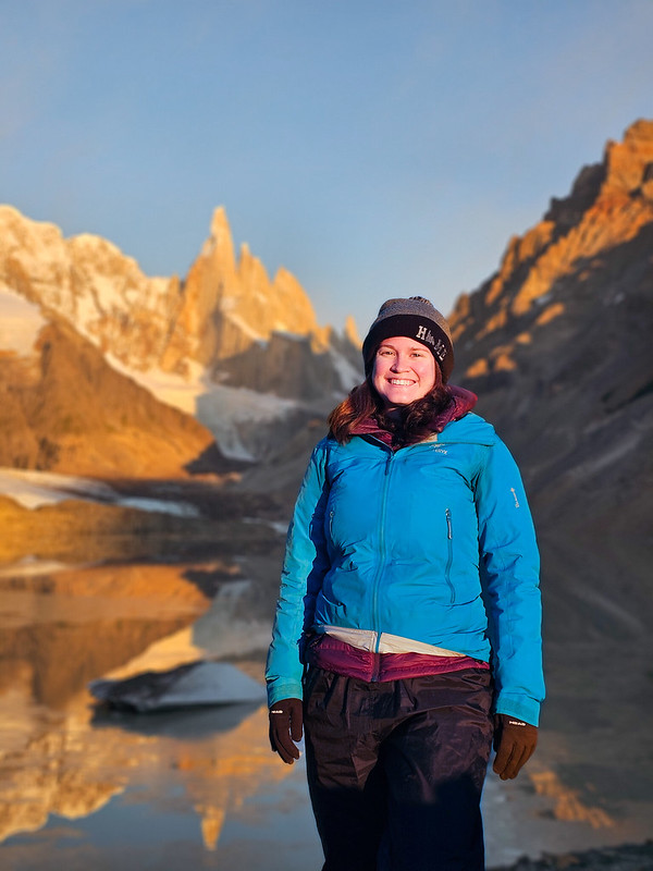
Continued from Part I. On Day 2, I got up before the sun and walked back to Laguna Torre to catch the sunrise. It’s only 10 minutes from the campground, so you really can’t skip it if it’s a nice day, which it was for me! There were no clouds in the sky, but interestingly, it was cold enough overnight that the lake had a thin sheen of slushy ice forming across it. I found a good spot around the rim of the moraine where I could see both the lake and the sunrise on the opposite horizon.
Laguna Torre, Lago de los Tres, and Torres del Paine are all famous sunrise hikes. The reason that sunrise is key is because the sun rises on the opposite horizon of the lakes, which means for about a half hour in the morning, it turns the mountains behind the lake an orange, golden colour. The only other place I’ve experienced this was sunset at Assiniboine (although I’m sure if I was willing to get up for more sunrises, I’d have a lot more options).
I had the perfect weather for sunrise at Laguna Torre, although it was very cold! It didn’t rain on us very much during our trip, but I ended up wearing my rain pants a lot because they are still great for insulation and act as a windbreaker! While waiting, I bundled up in all my layers and heated some hot water to have with my breakfast. Seth slept through the sunrise, but I’m so glad I trudged out of bed for it because it was really beautiful and probably the most memorable part of the entire trek!
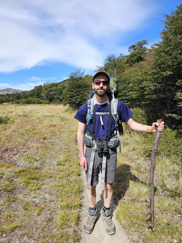
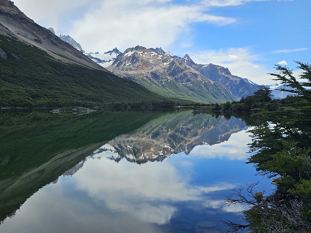
Day hiking to Laguna Torre and Lago de los Tres is really popular, and backpacking to Lago de los Tres also seems to be popular, but doing them both back to back didn’t seem to be quite as common as I was expecting. It’s ~3km of hiking back along the trail until you come to a branch that connects to the Lago de los Tres hike. The connector between the two trails involves climbing up a steep pass to Laguna Hija and Laguna Madre (daughter and mother lake). It’s a bit of a slog through the forest to the top of the pass, but overall manageable, and then the hike flattens out along the two lakes and is absolutely gorgeous!
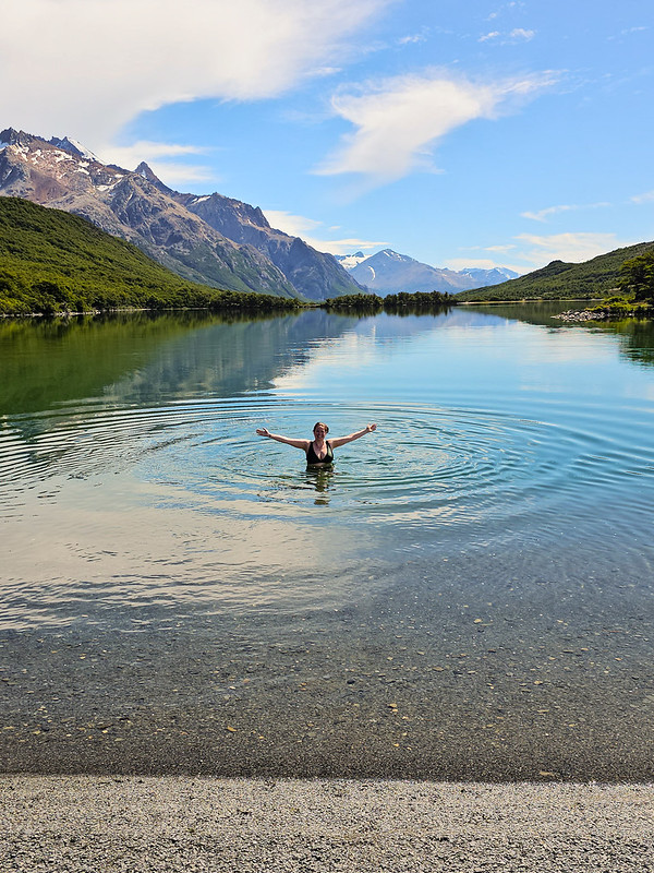
Laguna Hija is first – it’s the smaller of the two lakes, but it’s the most beautiful (in my opinion). What I liked about this section of trail is that it was very empty. We did pass some groups, but overall, it’s much less trafficked than the others trails because only the backpackers doing both hikes use it. Laguna Hija has a beautiful rocky beach at the foot of the lake and we decided to stop there for lunch. It was really nice and sunny, so we both went for a swim and enjoyed having the beach to ourselves. It was still very cold, but overall, a more enjoyable swim than at Laguna Torre.
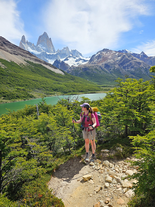
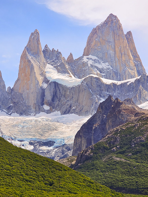
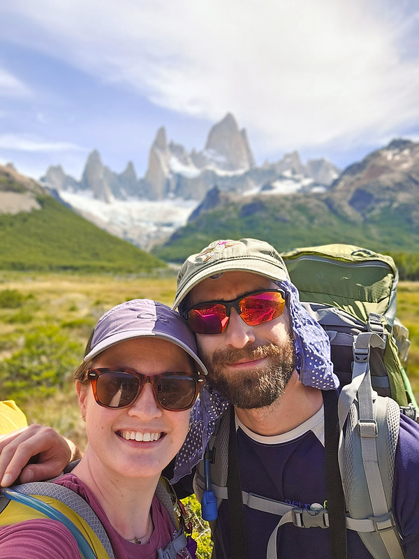
Once you leave the beach, you hike along the edge of the lake for a little while before doing a short climb to a viewpoint looking down on Laguna Madre. Laguna Torre looks at the backside of Mount Fitz Roy, so this is where we got our first view of the massive peak from the front. From there, the trail continues above the lake and goes in and out of the forest with lots of lovely viewpoints of the mountain.
Eventually you arrive at Rio Blanco, which is where you re-connect with the main trail to Lago de los Tres. This part of the trail is like a super highway of hikers and had a much different vibe from our morning hike. We filled up our drinking water at the junction because the river looked so nice, but this source continues another 1km to the campsite, so you don’t need to fill up in advance like you do at the Agostini campsite.
At this point in the day, it was actually quite hot, so we continued directly to the Poicenot Campground, which is ~1km from the junction. Unlike Agostini, it’s still another 2km away from the view at Lago de los Tres. However, from the campsite, you can still see the trail to Lago de los Tres, as well as the steady stream of people heading to and from the summit, which is 400m in elevation gain. Because of this climb, it looks pretty intimidating from the campsite, where all you can see is a vertical wall with switchbacks!
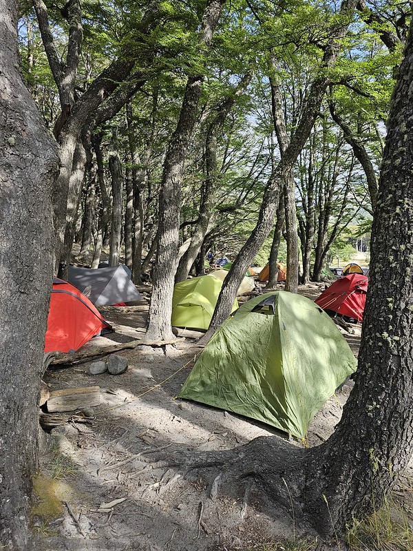
It took us longer to get to the campsite than I thought it would, and we arrived around 4pm. It was just shy of 11km of hiking, but it took us 5 hours, mostly because we stopped so much for photos and videos. I did not like Poicenot Campground at all – it’s what Brandon would refer to as a “tent city”. Agostini Campground was busy, but not really crowded. At Poicenot, it felt like the tents were almost on top of one another and there were a lot of people who seemed very new to backpacking, by which I mean they were loud and not overly considerate of other campers.
Once we set up the tent, Seth was keen for us to hike up to the lake. Neither of us had a lot of energy after backpacking all day, but he didn’t want to get up early for sunrise. I had mixed feelings because I didn’t want to do the hike twice, but I felt that if I did it that evening, I’d still want to do it again for sunrise. The sunrise was incredibly rewarding at Laguna Torre and I didn’t want to miss that experience at Lago de los Tres. Fortunately, Seth is good at reading his partner and he knew the experience was more important to me than it was too him, so he let me decide when to hike and I picked sunrise.
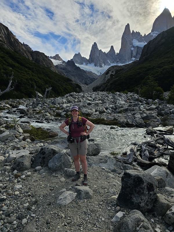
So instead of hiking up to the lake for dinner, we studied my GPS map and decided to check out a side trail up to Laguna Sucia, which looked to be ~5km round trip. It was a solid plan, although it didn’t quite manifest the way we’d hoped. My GPS showed two trails going up to the lake on either side of Rio Blanco, but when we tried the north side, there was a sign saying it was closed. We hiked up the south side of the river instead, but eventually you have to cross the river in order to go all the way to the lake, and there is no bridge. We could see people hiking on the north side, so they were clearly just using the closed trail. The trail appeared to be closed because the river has created a lot of erosion and the bank is unstable, so avoiding it was the wise choice, but I kind of wish I’d just taken the risk this one time.
But as usual, I played it safe. We walked around for a while looking for somewhere to cross the river. It’s definitely possible, but it was a bit dicey and I didn’t want to attempt it without my trekking poles, which were busy holding up my non-freestanding tent. So we never crossed the river and instead ate our supper along the river bank. It felt a bit anticlimactic, especially when we saw some other hikers crossing the river later, but I stand by my decision not to cross the river.
Eventually some clouds started rolling in and I worried we wouldn’t get the view we were after in the morning. But that’s the way it goes sometimes with hiking and we still got incredible weather overall. But we went to bed early and set our alarm with a 5am wake-up call! Check pack for Part III.
