Despite the name change in the blog title, this post is a continuation of my last post about Copeland Islands Marine Park, as I visited both parks in the same trip. Read Part 1 here.
I will admit that the wind gave me a lot of anxiety on this trip. I’m definitely a fair weather paddler, and while I’ve been out in less-than-favourable conditions, I’ve never paddled in outright dangerous conditions. It was surprisingly windy overnight, which made me a bit nervous for our second day of paddling, but the wind forecast wasn’t that high and it did calm down throughout the day. I’m used to the wind being calm in the morning and coming up in the afternoon, so that was an interesting change to have it reversed.
We still got up reasonably early (7am) because we wanted to launch the boats while the tide was still high. Once the tide starts to go down, you lose the channel exit from our campsite and it adds a bit of extra paddling, plus you have to load the boats and gear further down the beach.
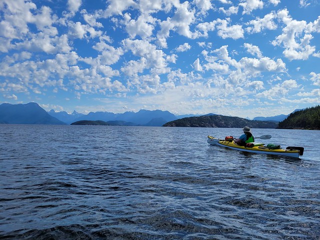
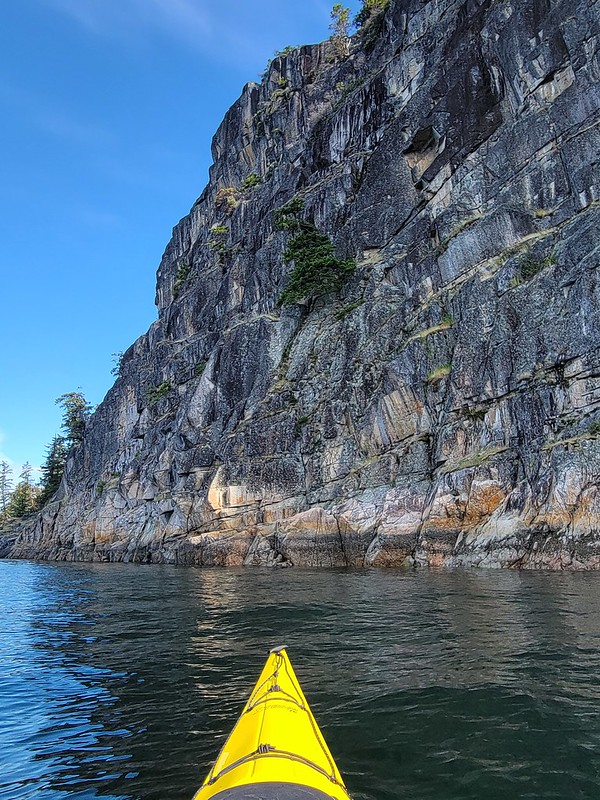
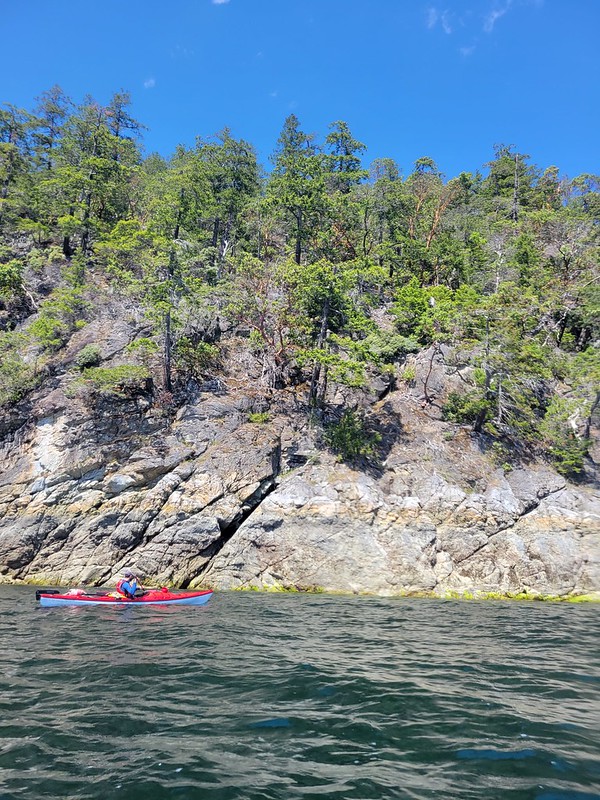
Fortunately, our timing was right on and we paddled out through the channel around 9am with just enough clearance to get over the newly forming beach. We crossed back over to the Malaspina Peninsula and said good-bye to the Copeland Islands as we made our way to Desolation Sound. There were some cool cliff features along the way, just past Bliss Landing, and we quickly arrived at Sarah Point, which marks the beginning of both Desolation Sound Marine Park and the Sunshine Coast Trail. It was a bit of a bittersweet moment for me as I have very fond memories of hiking the SCT last year and I loved seeing the Sarah Point hut again.
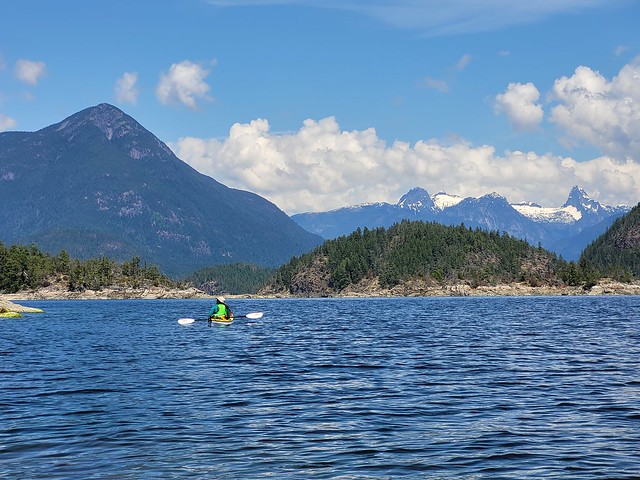
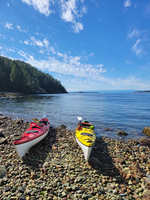
We had a quick break further along the beach at Sarah Point before continuing around the headland to Feather Cove, which is also on the SCT. It got a little windier as we rounded Sarah Point, but nothing to be concerned about. We spotted our second sea lion and then took in our first glimpse of the jaw-dropping beauty of Desolation Sound. I wasn’t able to successfully identify the mountains, but there are some gorgeous snow capped peaks in the distance as you first enter the Sound.
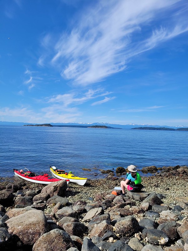
We took another short break at Feather Cove before crossing Okeover Inlet to Zephine Head. The Inlet crossing was fine and the tide was rapidly dropping, so we were able to pull out at a beach just around the Head. At high tide, you might have to continue into Galley Bay for a pull-out though. We had our lunch there and since the conditions were favourable, we decided to do a direct crossing to Mink Island.
It’s about a 3km paddle from Zephine Head to Mink Island in open water. We tried to stay close to one another on the crossing, but the wind definitely picks up the further out you get, so I finally dropped my rudder and that helped me maintain my course a lot easier. Seth is pretty opposed to his rudder and never uses it, so he had some trouble staying on track. We managed to correct this the following day (which was windier), by both dropping our rudders and having Seth paddle directly behind me (since I’m the slower paddler) instead of trying to paddle side by side. Whenever we go side by side we tend to get separated, so this system worked better for us.
That said, it was still a pretty good crossing. The wind was low and we didn’t have any trouble making it over to Mink Island. Once we got to Mink Island, we had the wind working with us, so that was nice. Unfortunately, there weren’t a lot of good looking places to stop along the island, so we powered around the corner of the little arm on Mink Island (sorry I don’t know the name) and had a nice rest in the sheltered bay.
From there it’s not much further to the Curme Islands, which are the most popular attraction in the park, at least as far as I can tell. At the end of Mink Island, there are 3 small islands: South Curme, East Curme, and West Curme. The water was super calm at the end of Mink and around the Curme Islands, so we did a little paddle around each island. It was Seth’s turn to pick our site and he opted for East Curme Island, which I think was an excellent choice!
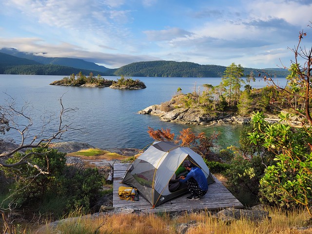
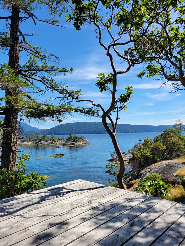
West Curme Island was really busy when we arrived, so I think that one might be the most popular. There was just one group on both East and South Curme, though a lot of people showed up to South Curme by motor boat later in the evening. But no one else joined us on East Curme, so it was just us and the other group (which is surprising considering it is the biggest of the 3 islands). We had a lovely site looking out to South Curme and Bold Head, and climbing up to the top of the island, another nice view looking down at West Curme.
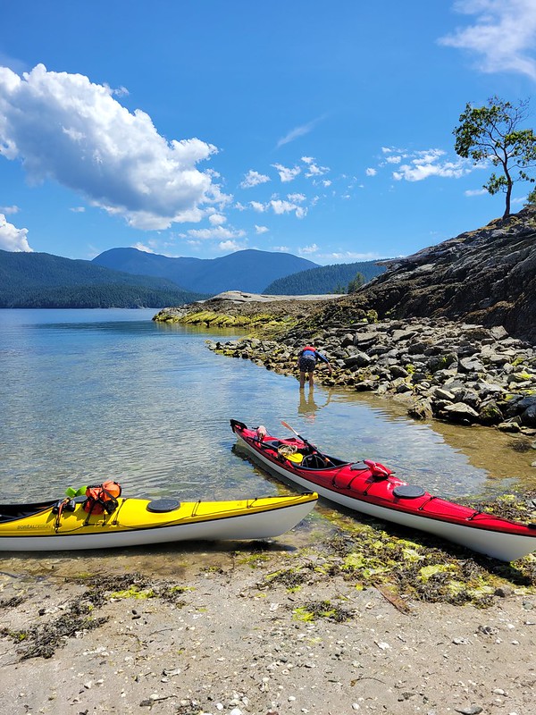
The tide was very low when we arrived again, but in contrast to North Copeland Island, it was a more challenging landing. It wasn’t hard at low tide, but it’s a bit of a climb up to the island and at high tide, there’s no beach at all. There was just enough room for 4 kayaks between us and the other group, so I’m not sure where everyone stores their boats when the campsite is full.
Instead of dragging the boats up the rocks, we opted to tie them on and let the tide slowly float them up to the landing. It worked really well and when the water reached high tide around sunset, we popped them up on the bank.
After unloading the boats, we were really warm, so we opted to go for a swim almost immediately. Like Copeland, the water was incredibly warm, though there was a lot of seaweed floating around with the low tide. Even Seth went for a swim and we were in the water for the better part of a half hour. We had landed on the island around 2:30pm, and after our swim, I spent the rest of the day doing absolutely nothing. Seth had a nap and I just enjoyed drinking my ice tea and watching the seals play while the tide came up.
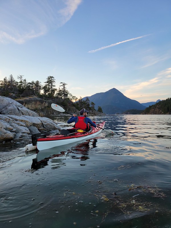
Seth wasn’t as excited about a sunset paddle on this day, but I convinced him to go out for a half hour since you can’t really see the sunset from East Curme. The water was calm again and it was approaching high tide, so we paddled in and around all the islands before calling it a night. We slept with the fly off again and set our alarms for 6am to get an earlier start on the following day.
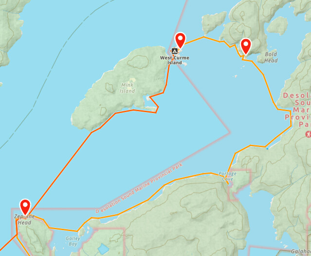
This was on account of those winds I mentioned earlier that were making me anxious. The wind was supposed to come up a lot on our 3rd day and I was nervous about the big open water crossing. We discussed it in the evening and decided we would take the long route back to our next campsite. There’s two benefits to this. The first is that you get to explore new terrain by circling Desolation Sound from the other side instead of doing the same crossing back along Mink Island. The second is that you avoid the big 3km open crossing, instead doing a 0.5km crossing from East Curme to Otter Island, and then a second 1km crossing across Tenedos Bay. The other benefit is that these two crossings are done at the start of your paddle, which would be early morning for us, resulting in less wind.
Here’s a screenshot of our 2 paddling routes for some context. I’ll cover the rest of the trip in the Part III!
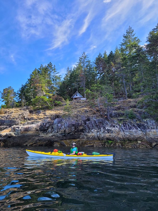
Great pictures and report once again. I also like paddling close to shore even on a lake canoe trip. There is so much to see on and near shore. It was nice to see the Sarah Point cabin and Feather Cove from the kayak perspective. I volunteer with qPAWS who build and maintain the SCT. In fact a co-worker I ran into you on your SCT hike. It was down near the other end of the trail. Just behind us was Eagle Walz who you also chatted to.
Pingback: Copeland Islands Kayak Trip Part I | The Road Goes Ever On
Pingback: Desolation Sound Kayak Trip Part III | The Road Goes Ever On