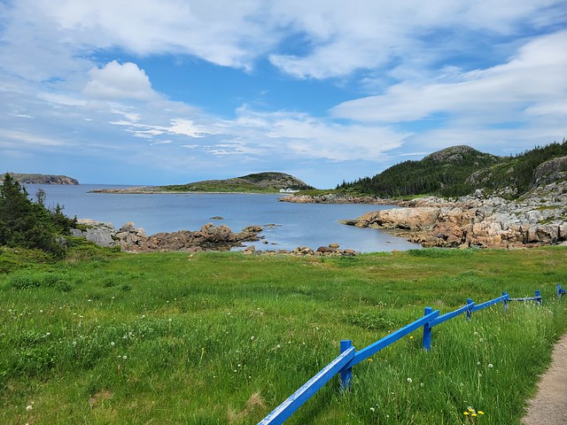
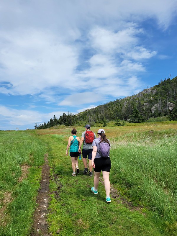
As the name suggests, the Top of Twillingate Trail hikes up to the highest point on Twillingate Island. It’s not very tall, at only 110 metres in elevation, but it’s my favourite trail on the island. It’s located just up the road from where my family lives, so I’ve done it too many times to count over the years. You can even see my Nan’s house in Bayview from the top!
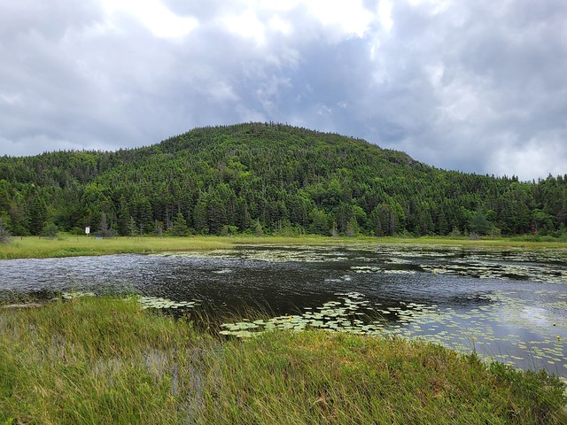
The Top of Twillingate is a loop trail that is ~4km in length. It starts off flat and you come to a branch for a little additional loop around the pond, which I recommend doing because the trail is so short anyways. The entire section around the pond is boardwalk, so it makes for a quick and easy walk. After the pond, you come to another branch to start the loop up to the top. It doesn’t really matter which way you go, but if you want to do the lookouts in order, take the right branch.
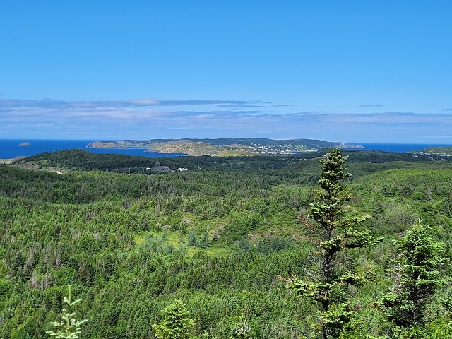
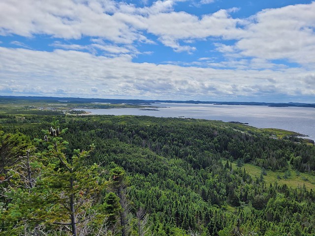
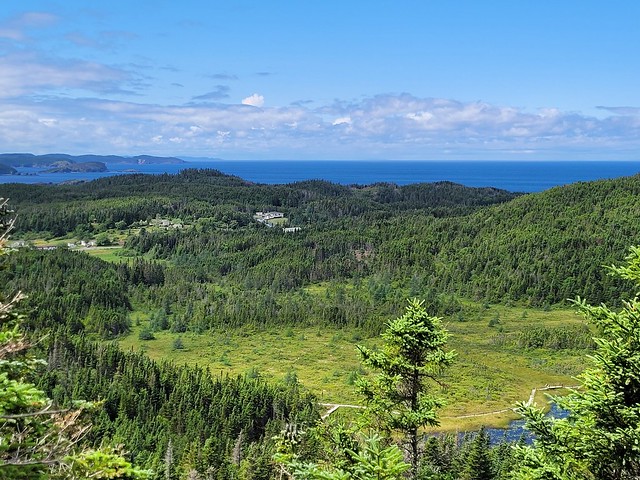
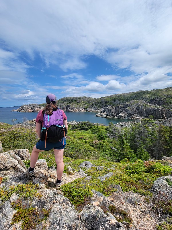
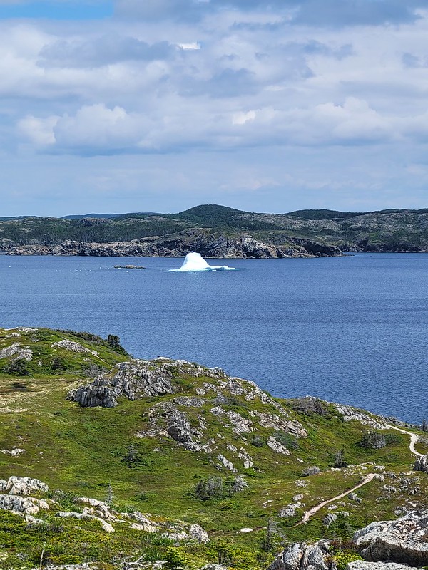
In total, there are 4 lookouts plus the tower at the top of the hill. The top of the hill is forested, so they’ve built a tall tower to get up over the trees to see the surrounding island. The tower is neat, but I think it’s lookout #2 that is my personal favourite, because that’s the one that looks down to my Nan’s house and out to Manuel’s Cove.
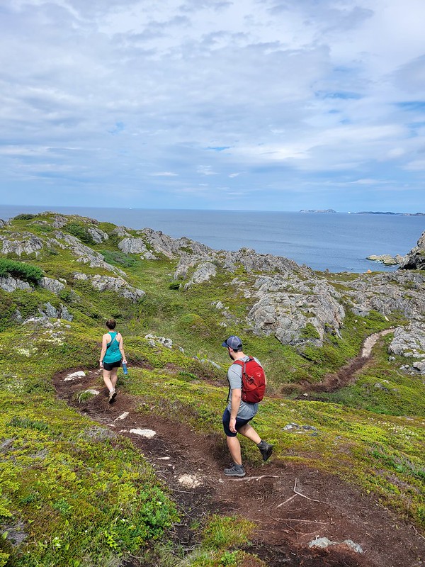
There is of course, some uphill on this trail since it goes to the highest point on the island, but it’s not a challenging trail. It’s only about an hour in total to do the entire hike, so make sure to do all the lookouts and enjoy the views! There’s no coastal hiking on this trail, so it’s quite different than a lot of the other hikes on the island, but there are views of the whole island, so I definitely recommend doing this trail for something a little bit different. A personal favourite for me!
