ECT Series: Caplin Bay Path

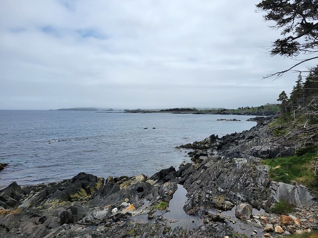
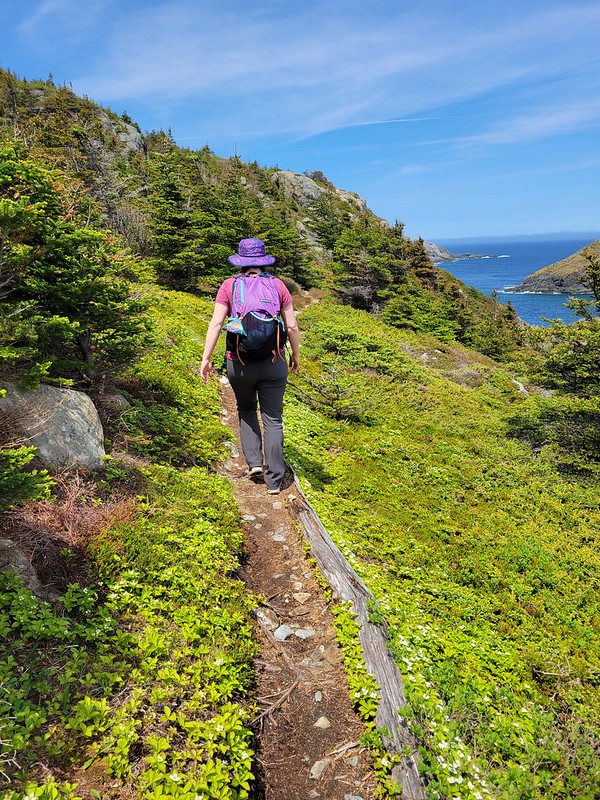
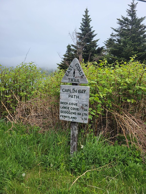
Caplin Bay Path is another short section of the East Coast Trail that can be done as a round trip if you don’t have two vehicles. I did it as a round trip, returning to my car via the road, but it’s a short enough trail that it’s nicer to just do a there and back rather than walking along the road. It was approximately 5.5km for me, but if you do it as a one-way hike, it’s only 3.5km from trailhead to trailhead.

The trail officially runs from Calvert to Ferryland, but it doesn’t quite connect with either town. If you want to go all the way to Ferryland, there is another inland trail that you can connect to off of Sunnyhill Road to continue to Ferryland if you have 2 cars. You could even add the trail to the lighthouse if you want to make it a full day trip.

20230628_124452
20230628_125506

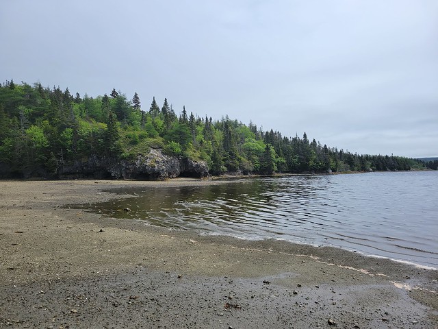
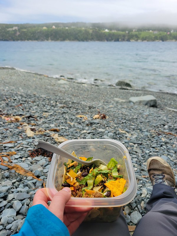
I started the trail from Calvert and hiked down to Deep Cove to eat my lunch, which is located very close to the trailhead. Most of the trail is in the woods, but the beach at Deep Cove is gorgeous and would be a decent place for swimming if you’re brave enough. There are some more nice viewpoints on the opposite end of the trail at Caplin Bay, but no where else with direct beach access.

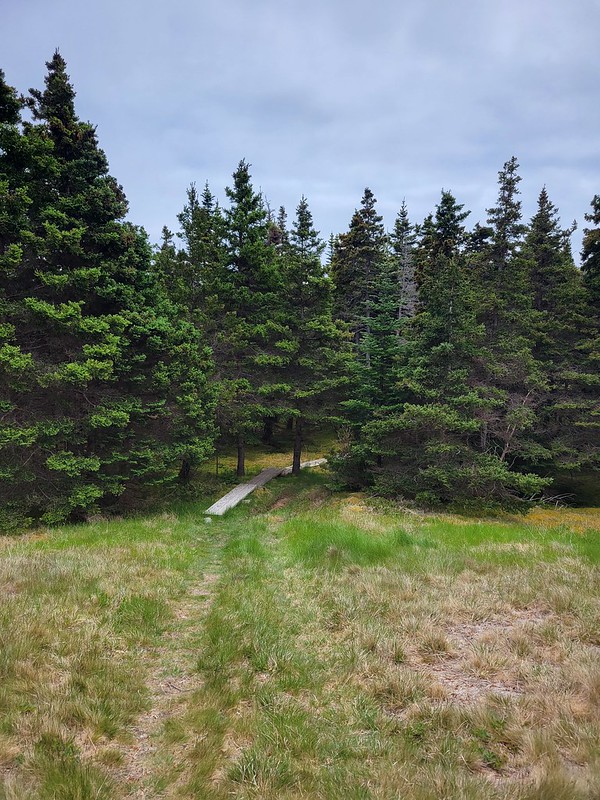
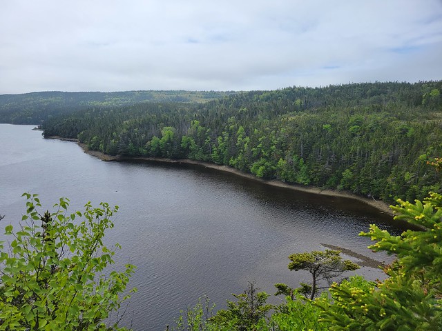
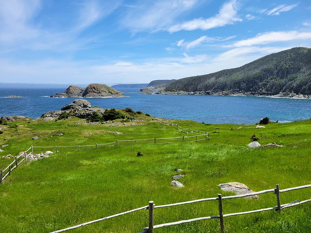
There’s not too much to say about the trail. It has very minimal elevation gain and it only took me about 1.5 hours round trip to do the whole thing there and back. Even though much of the trail is in the woods, there is a really nice view of Lance Cove at the midpoint of the trail, and there are some really pretty meadows on the Ferryland side of the trail. But you do pop off the trail at one point and have to cross through the back of the school, so it doesn’t feel like a very remote trail.

20230628_134846

The nice part about walking back the road was that I decided to stop at the Squid Jigger Restaurant for a seafood dinner on my way back to my car! There’s not too much to see on the trail overall, so I wouldn’t recommend it if you’re a visitor to Newfoundland.

It’s a good short day hike for locals, especially if you only have one car, but it is a long drive to get down there, which is why I did Caplin Bay Path and Mudder Wet Path both on the same day. I’m glad to have crossed it off my list of ECT sections!
20230628_134736

ECT Series: Mudder Wet Path

Mudder Wet Path is a funny little part of the East Coast Trail in Aquaforte. If you’ve never heard of it, I think it’s because it was officially added to the Spurwink Path, which I don’t really like because Spurwink is already a long section of trail, so I think a lot of people skip the Mudder Wet section of it when they do it (which was the case for me when I did Spurwink). My ECT map collection is quite old, from when Mudder Wet Path was considered it’s own section of the trail, so I did a double header in June 2023 and did Mudder Wet and Caplin Bay Path on the same day, since they’re both pretty short.

20230628_120323

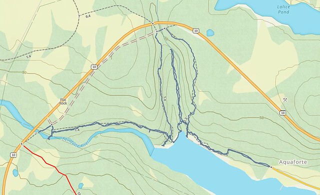
The Mudder Wet section runs from Aquaforte to the trailhead of the Spurwink Path off the highway. It’s under 2km if you do it one way, but it can be extended up to 5.5km if you do it as a round trip with some of the side trails (which is how I did it). I parked in Aquaforte and hiked out to the beach at Little River where the Aquaforte River meets the ocean. The official trail does a big roundabout back to the highway to hike around the ravine where Little River comes down, before returning the beach on the other side of little River. Then you can continue up along the river to the highway where you connect with Spurwink.

20230628_113052

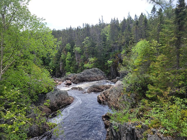
I hiked down to the beach on the way in and found a side trail that hikes up along Little River to a waterfall. It’s a nice little hike – I was hoping it would connect back to the official trail, but because of the steep walls of the ravine, I had to hike back to the beach and do the full roundabout. I continued the long way and did the whole trail back to Spurwink, but on the way back I decided to try and save myself some time. I hiked back down to the beach at Little River and crossed the river instead of hiking back up around it. The river was flowing low enough and the tide was way out, so I was able to cross without taking my shoes off. So it can be done, but I’m not sure how frequently. I think if it was high tide it might not be crossable at all.

Mudder Wet Trail

So it’s a small little trail, but I ended killing more than an hour and a half there with all the exploring. I decided to include my GPS track below for reference since the descriptions can be pretty confusing. I wouldn’t put this trail very high up my list of trails to do on the ECT, but it was one I needed to do to complete the trail and I had a nice time hiking it solo. There are really nice views of Aquaforte Harbour.

20230628_115110

ECT Series: Biscan Cove Path

I needed a bit of a writing break to start the year. I had a lot of summer and fall adventures to write about, but it’s been pretty low key for me in December and onwards. I was hoping to go on some winter adventures through the holidays, but it’s been a very late start to winter in BC and to be honest, I needed some rest time. So mostly I spent my holidays holed up inside doing jigsaw puzzles and listening to audiobooks.

To start the year, I decided to expand my Newfoundland series for the next few weeks since I don’t have a lot of winter activities to write about at the moment. I’ve been working on completing the East Coast Trail for several years now and I think I might be in a position to finish it this year, so I figured it’s a good time to get caught up on some of my trails!

20230627_111722

I first did Biscan Cove Path back in 2016 and at that time, the road to Cape St. Francis was in really rough shape and Biscan Cove Path itself took a lot longer than I anticipated. I returned to the trail in late June 2023 and generally had a much better experience on the trail than in 2016. Biscan Cove Path runs from Pouch Cove to the lighthouse at Cape St. Francis, which is the most northerly point on the East Coast Trail. At one point, I think it might have been the start of the entire ECT, but the trail has since wrapped down the other side of the avalon peninsula towards CBS.

This was a bit of a tricky trail for section hikers because the paved road pretty much ends in Pouch Cove and the gravel road to the lighthouse used to be in really terrible shape. But it was recently graded, so it’s much easier to do this trail with 2 cars now. The first time I did it, I skipped the extra 1km to the lighthouse and hiked from Biscan Cove to Pouch Cove. On my more recent visit, I started in Pouch Cove and generally liked the experience more because you can end at the lighthouse, which is a really nice place to whale watch while eating your lunch.

20230627_125022
20230627_124852

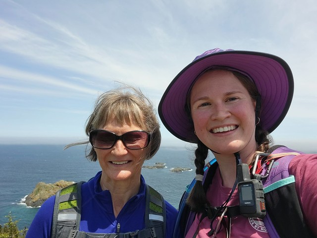
You can park your car next to the field at Memorial Park in Pouch Cove and then walk up the road to the trailhead at Baldhead Road. It’s just over 8km from Pouch Cove to Cape St. Francis and it took me and Mom a little over 2.5 hours to do last summer. We made a pretty quick pace with just the two of us, but it can be a deceiving trail. When I did it the first time, it took us more like 4 hours to complete, but it was with a much bigger group and we picked a lot of blueberries.

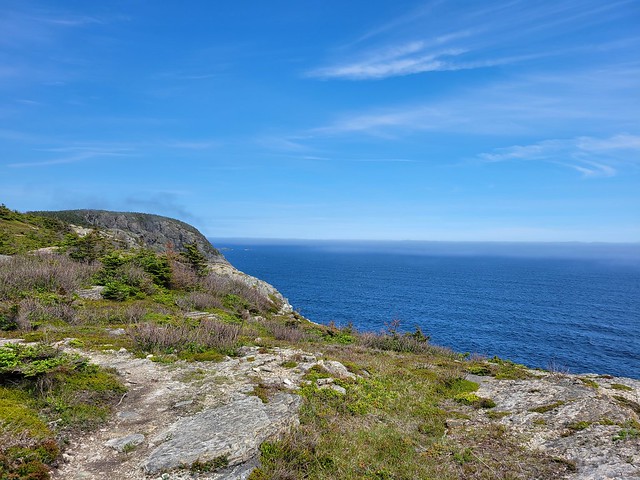
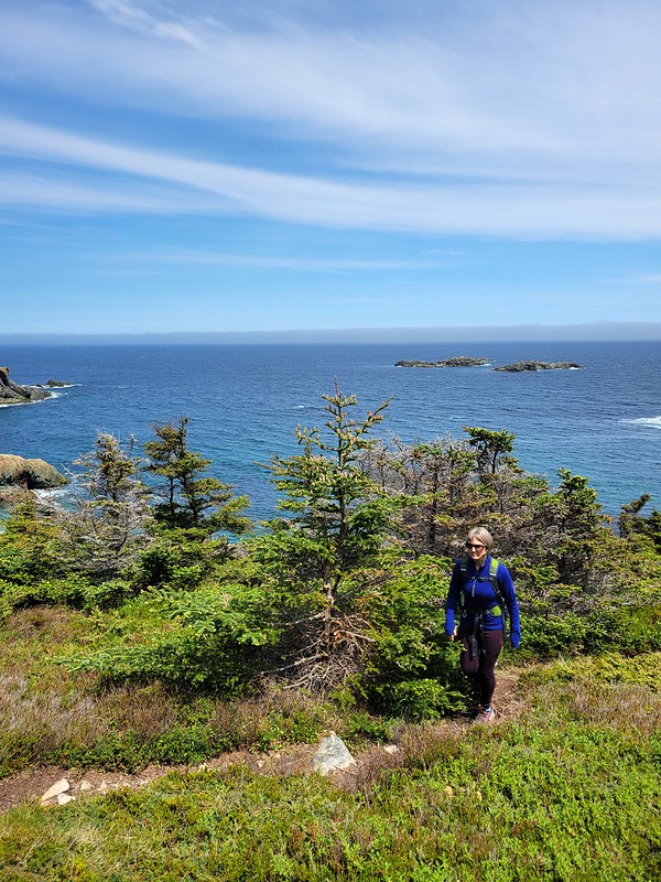
I actually like this trail a lot though. There’s quite a few forest sections, but there’s also a lot of viewpoints. It’s a fairly varied trail and Mom and I pushed all the way to the end before stopping. The trail technically ends at Biscan Cove, where there’s a parking lot. It’s another 600m to hike out the road to the lighthouse at the point, but it’s definitely worth it to walk out there, more so for the whale watching than the lighthouse.

20230627_135155

As usual, it was really windy out there, but we sheltered by the side of the lighthouse and ate our lunch while watching the whales play. The first time I did the hike, I brought 2 cars. On this occasion, we didn’t have a second car, so I convinced mom to just walk back the gravel road to Pouch Cove. It does add another 4km to the hike if you walk back the road, so Mom was really cranky about adding another hour to the walk on the way back.

Fortunately there were some other hikers around at the same time, so we only had to walk 0.5km before we were able to hitchhike back to Pouch Cove with a friendly hiker. The East Coast Trail doesn’t see that much foot traffic and the gravel road to Cape St. Francis sees even less, so this is definitely not a reliable option. But it also wasn’t a big deal to me to walk another hour back to the car (though driving was definitely preferable).

So overall, Biscan Trail is a pretty short path, but it’s located close to St. John’s, so it makes for a nice afternoon hike in the summertime! I was happy to return to see the lighthouse.

20230627_130541(0)